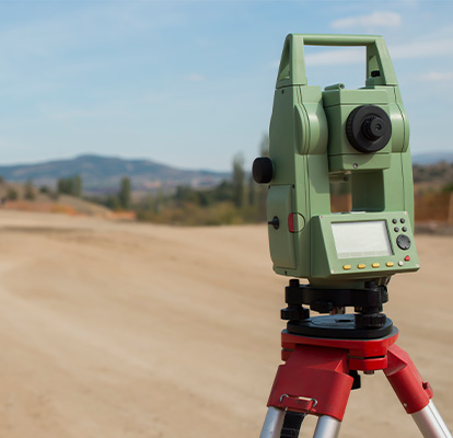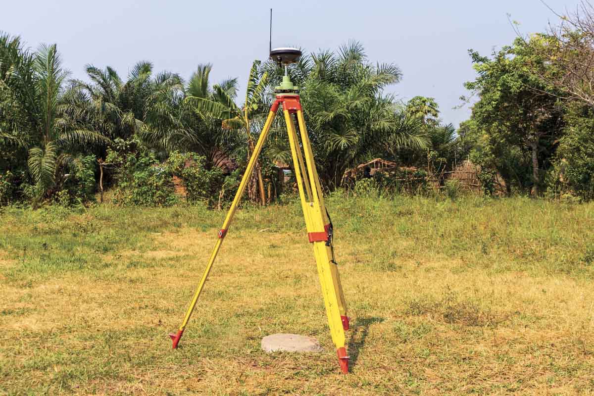
Our company offers high-precision control surveys, a foundational service for establishing accurate reference points used in mapping, engineering, and construction projects. control surveying involves using satellite based positioning systems to create a geodetic framework that ensures consistency and accuracy across all subsequent surveys and spatial data collection.
These surveys are critical for aligning site layouts with global coordinate systems (such as WGS84 or UTM), integrating GIS data, and supporting long term infrastructure development. Whether for large scale construction, cadastral mapping, or geotechnical monitoring, control surveys provide the spatial accuracy required for reliable project execution.
By utilizing advanced GNSS technology, including dual-frequency receivers and RTK (Real-Time Kinematic) methods, we deliver control networks with millimeter-level precision.
Why choose Control Surveying
Control surveys are essential for ensuring spatial accuracy, data consistency, and integration across all phases of a project. Here are four key reasons why they matter:
High-Precision Reference Points
Establishes geodetic control networks that serve as reliable benchmarks for topographical, engineering, and cadastral surveys ensuring spatial accuracy throughout a project.
Consistency Across Surveys
Ensures all survey data collected over time and from different sources align within the same coordinate system, reducing errors and improving collaboration between teams.
Time & Cost Efficiency
GNSS-based control surveys cover large areas quickly and accurately, minimizing the need for traditional ground methods and reducing labor and project costs.
Integration with GIS & Mapping Systems
Provides accurate geospatial references essential for GIS applications, land information systems, and digital mapping platforms enabling smarter, data-driven decisions.