Our company provides expert engineering and topographical surveying services that are essential for the planning, design, and execution of construction and infrastructure projects. These surveys involve the precise measurement and mapping of natural and man-made features of a site, including contours, elevations, structures, utilities, and terrain conditions.
Topographical and engineering surveys are crucial for architects, engineers, developers, and project managers to understand the physical characteristics of a site and to make informed, data-driven decisions during design and construction phases.
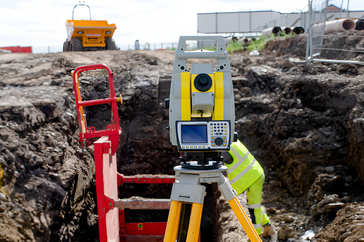
Utilizing state-of-the-art surveying instruments, drones, and geospatial software, we ensure accurate, high-resolution data collection that supports efficient project execution and reduces costly surprises on-site.
Why choose Engineering & Topographical Surveying
Engineering and topographical surveys provide the foundational data required to plan, design, and build with confidence. From site feasibility assessments to construction layout, these surveys are vital across every stage of a project. Here are four key reasons why they are essential:
Accurate Site Analysis
Provides a comprehensive understanding of existing site conditions, including elevations, slopes, drainage patterns, and physical features—enabling better planning and design accuracy.
Informed Engineering Design
Supports the development of detailed engineering drawings by supplying precise ground data for grading, drainage, roadworks, structural foundations, and utility placement.
Construction Planning & Monitoring
Enables precise construction staking, progress tracking, and verification of work against design specifications ensuring quality control and project efficiency.
Risk Identification & Reduction
Helps detect potential site challenges such as unstable ground, flood zones, or underground utilities early minimizing construction risks, delays, and cost overruns.