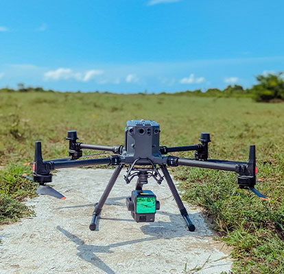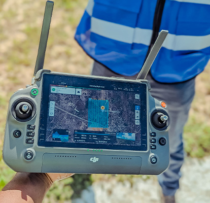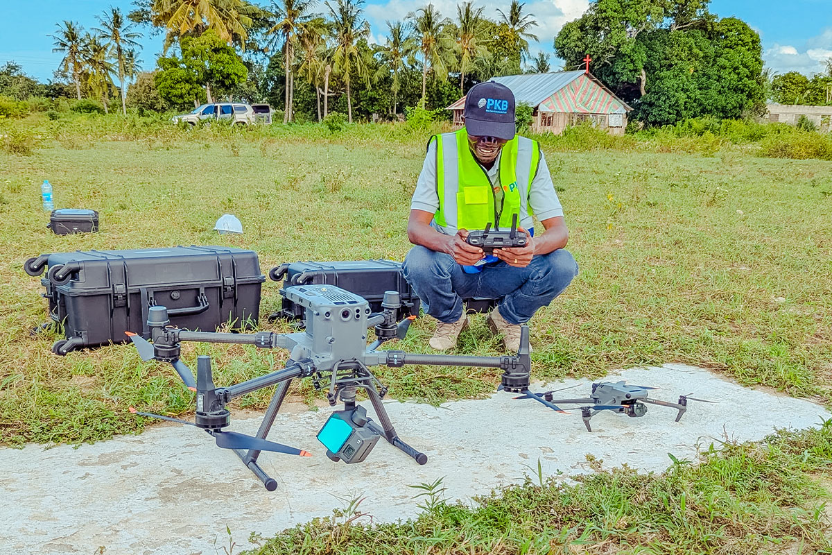
Our company offers specialized airborne surveying services that provide high-resolution spatial data over large and often inaccessible areas. Airborne surveying involves the use of aircraft, drones (UAVs), or helicopters equipped with sensors such as LiDAR, photogrammetry cameras, and multispectral scanners to capture detailed geospatial information from the air.
This method is ideal for topographical mapping, environmental monitoring, infrastructure planning, and resource exploration. Airborne surveys are particularly effective in reducing field time while covering vast terrains with unmatched accuracy and speed.
By leveraging cutting-edge aerial technology and data processing tools, we deliver fast, reliable, and cost-efficient survey results to support informed decision-making in both public and private sector projects.
Why choose Airborne Surveying
Airborne surveying offers a fast, scalable, and highly detailed solution for large-area mapping and analysis. Here are four key reasons why it is an essential service:
Wide Area Coverage in Less Time
Captures geospatial data over expansive or hard-to-reach areas quickly—ideal for forests, mountainous regions, infrastructure corridors, and urban mapping.
High-Resolution and Accurate Data
Delivers detailed terrain models, elevation data, and imagery using advanced sensors like LiDAR and high-resolution cameras, suitable for precision planning and engineering.
Reduced On-Ground Risks & Costs
Minimizes the need for manual fieldwork in hazardous or remote environments, reducing safety risks and operational costs.
Supports Diverse Applications
Useful in various industries including mining, energy, transportation, agriculture, and environmental management for tasks such as route planning, volume estimation, and vegetation analysis.