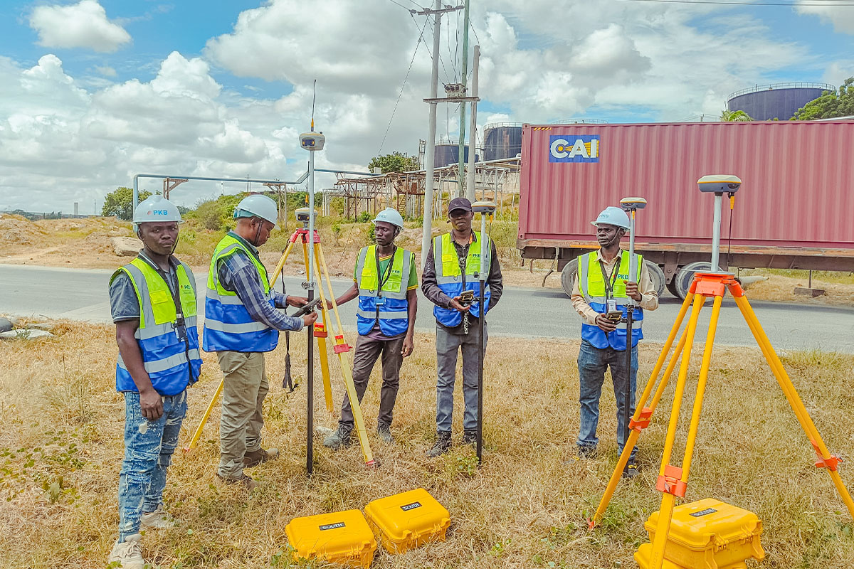
Our company specializes in cadastral surveying, focusing on the precise measurement and mapping of land boundaries and property divisions. This service is crucial for property owners, real estate developers, and government agencies, ensuring accurate land ownership documentation.
Additionally, cadastral surveying plays a vital role in supporting fair taxation, resolving boundary disputes, and aiding in efficient land use planning. By leveraging advanced surveying techniques and technology, we provide reliable data that contributes to sustainable development and informed decision-making.
Why choose Cadastral Surveying
Cadastral surveying is a crucial process for accurately defining land boundaries, ensuring legal ownership, and supporting effective land management. Whether for property transactions, development projects, or government planning, it provides the foundation for clear and dispute-free land records. Here are four key reasons why cadastral surveying is essential:
Accurate Land Ownership Records
Provides precise boundary definitions, preventing disputes between property owners and ensuring clear legal ownership. This accuracy is essential for buying, selling, or developing land without conflicts.
Legal & Regulatory Compliance
Supports proper documentation required for land transactions, taxation, and government regulations. It ensures properties meet legal requirements, helping avoid legal issues or claims over ownership.
Foundation for Land Registration Systems
Cadastral surveying is a cornerstone of national land registration frameworks. It enables governments to maintain accurate, up-to-date land records, which are critical for issuing land titles and managing ownership transfers efficiently.
Enhanced Land Value and Investment Confidence
Verified land boundaries increase the credibility of property assets, making them more attractive to buyers, investors, and financial institutions. Clear cadastral data gives confidence for property development, financing, and long-term investment planning.