- Expertise & Experience
- Cutting-Edge Technology
- Reliable & Certified
- Tailored Solutions

years of experience
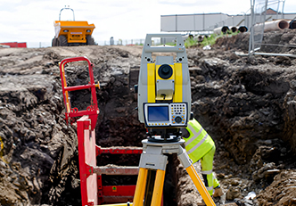
At the core of our services is a dedication to delivering accurate land surveying and GIS solutions using advanced geospatial technology for efficient and sustainable development.
We deliver geospatial solutions with precision, innovation, and environmental responsibility, ensuring sustainable development in land and infrastructure projects.
To provide the quality service to our clients with the very best and reliable solutions to meet their needs and expectations through intelligent application of technology and best advice.

To become the leading surveying firm in Africa, known for precision, innovative in technology and best services
Providing reliable, high-quality solutions through technology, trust, and ethical excellence.
Our expertise in geospatial technology, modern surveying, and GIS solutions ensures precise, data-driven insights for efficient land mapping, surveying, and civil engineering development.
We are dedicated to delivering top-tier services marked by quality, efficiency, and timeliness.
We strive to excel by prioritizing your needs and satisfaction, with a well-organized warehouse and timely product deliveries.
PKB Geo-Tech is devoted to exceeding and fulfilling customer expectations.
Our process prioritizes efficiency and precision at every stage. Using advanced technology and best practices, we ensure seamless and accurate workflows.

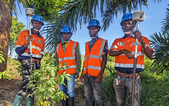
We assess client needs, evaluate sites, and gather geospatial data using advanced techniques.
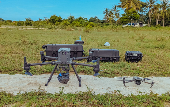
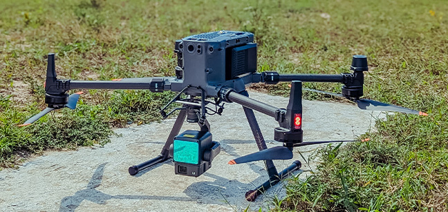
Using GPS, UAVs, and GIS, we capture, process, and analyze precise mapping data.
We integrate survey results into infrastructure, land management, and development projects.