welcome

Expert Surveying, & GIS Solutions

We are committed to delivering accurate mapping and GIS solutions using advanced technology for smarter land management and infrastructure planning.

welcome

Routes & Engineering Surveys

We guide infrastructure projects from concept to completion with precision route mapping, ensuring cost-effective alignment and seamless engineering design.

welcome

Accurate Control & Boundary Surveys

Harnessing high-precision GNSS technology to establish reliable control networks and resolve boundary uncertainties for lasting land security.

welcome

Mining & Topographical Insights

Empowering the extractive industry with detailed terrain models and volumetric analysis for safe, efficient, and profitable mining operations.

10+

years of experience

about us

Shaping the Future with Precision and Innovation.

At the core of our services is a dedication to delivering accurate land surveying and GIS solutions using advanced geospatial technology for efficient and sustainable development.

  • Expertise & Experience
  • Cutting-Edge Technology
  • Reliable & Certified
  • Tailored Solutions

4.9

5+ genuine rating

services

Comprehensive Solutions for Geospatial Excellence

We offer a diverse range of services designed to meet the evolving needs of today's industries. From precise land surveying and advanced GIS solutions to custom mapping and efficient infrastructure planning.

Aerial & Terrestrial Surveying

Land & Property Surveying

Engineering & Infrastructure Surveys

GIS & Digital Mapping Solutions

our story

Precision Geospatial Solutions for Smarter Development.

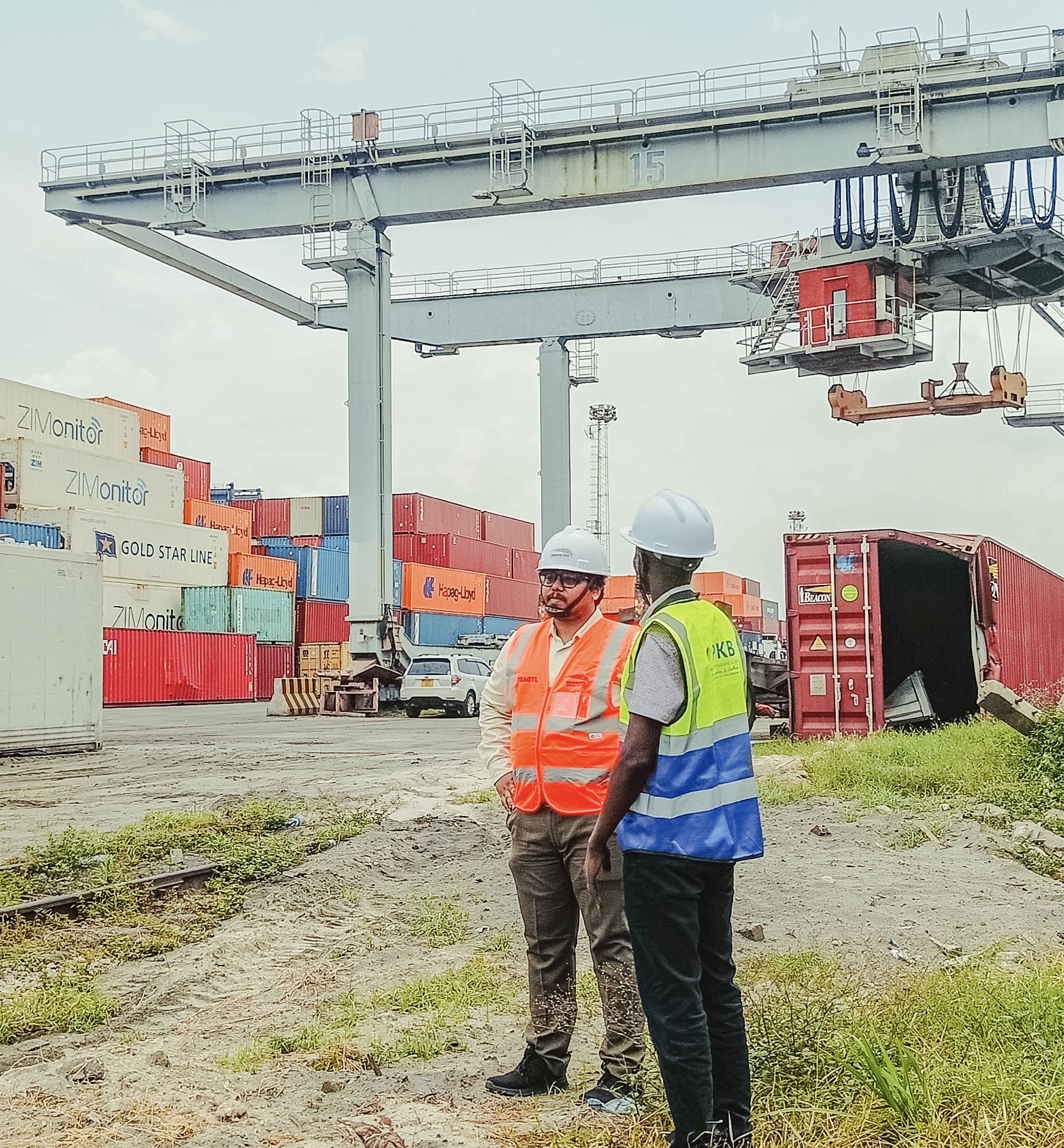
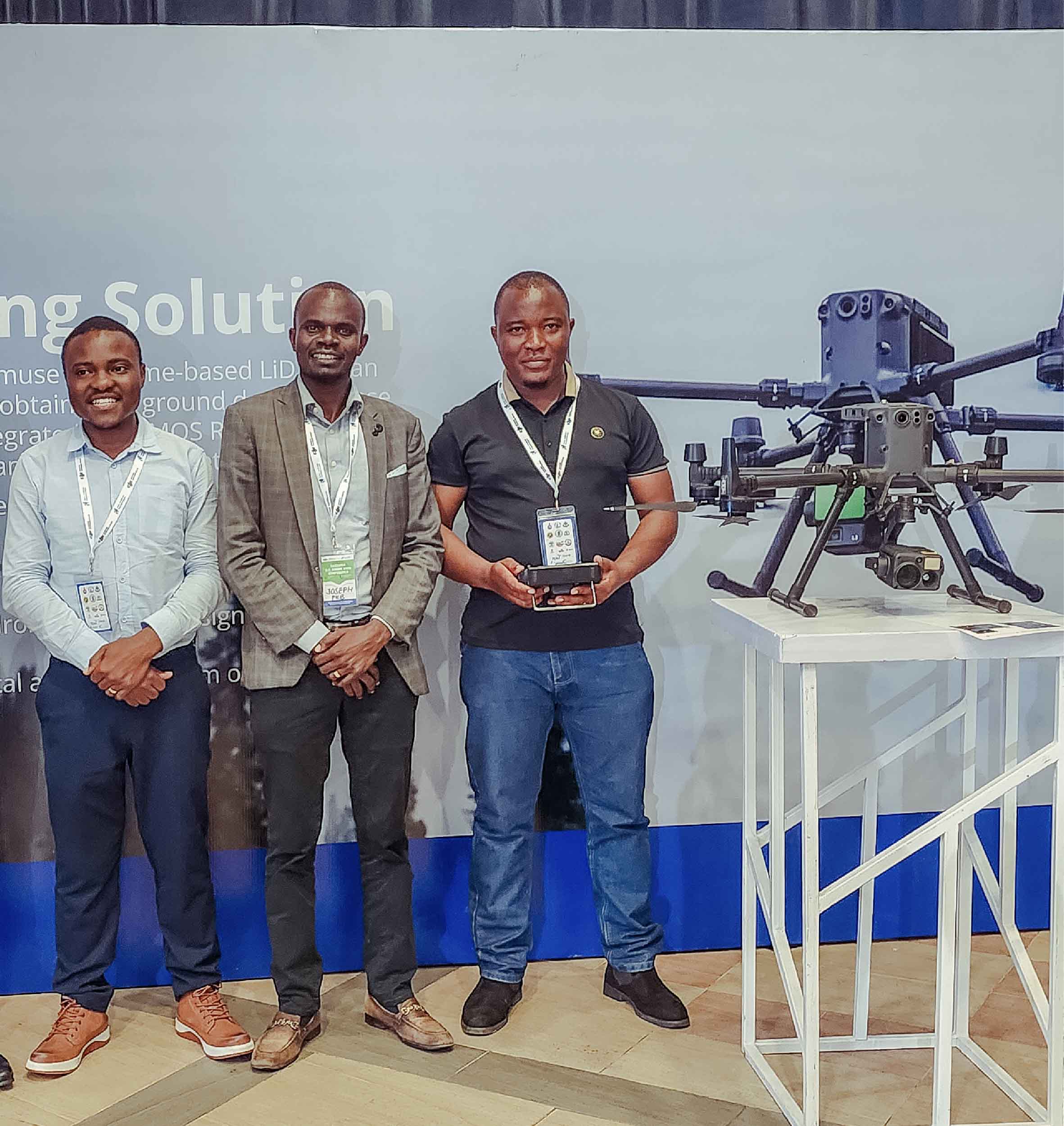
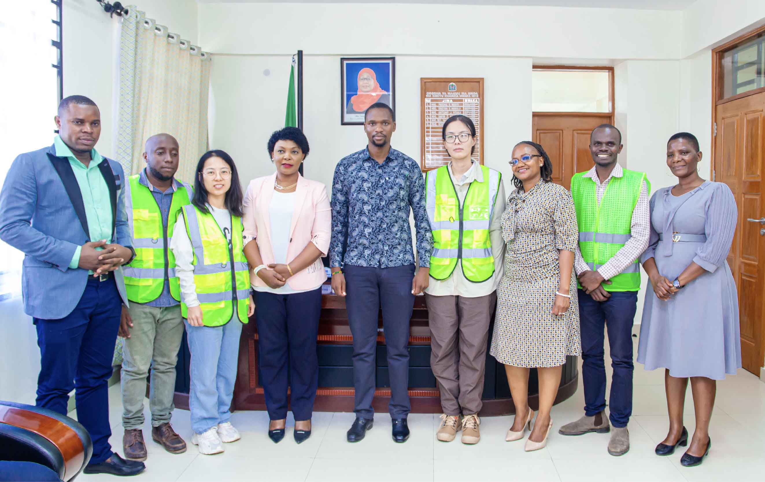
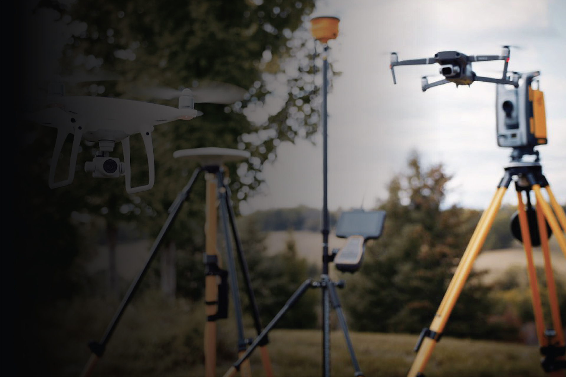
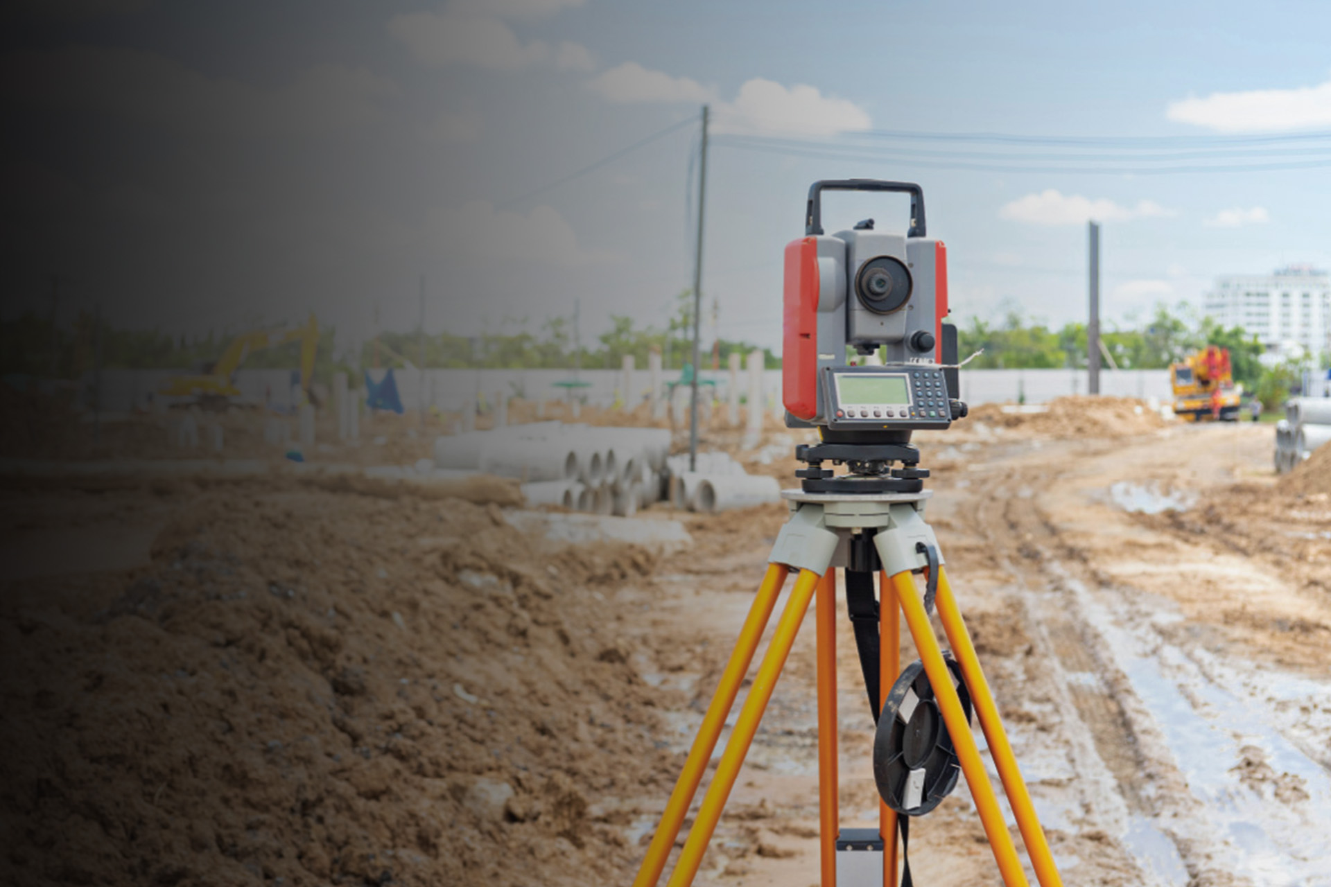
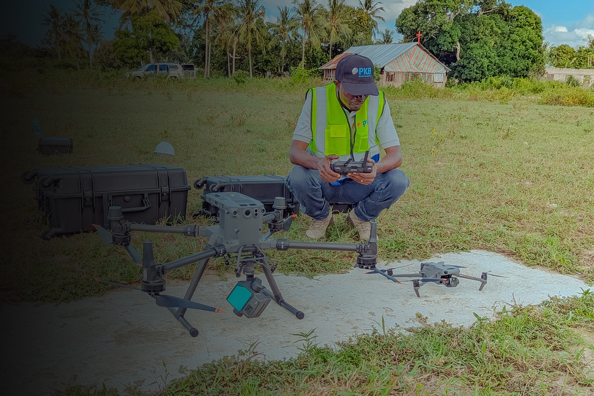
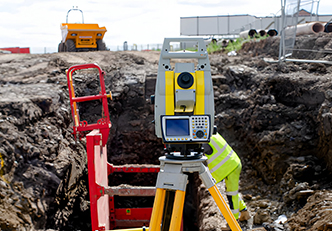
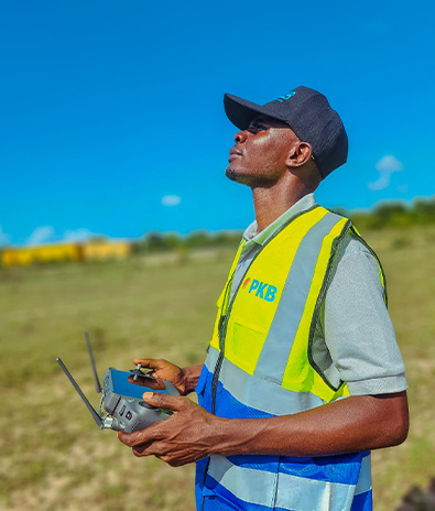
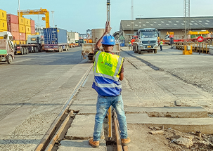
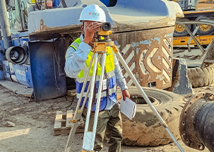
We specialize in transforming land and infrastructure development through innovative geospatial solutions. Using advanced technology, precision surveying, and sustainable practices, we enhance efficiency and accuracy in every project.

15+

completed project

20+

satisfied customer

7+

years of mastery

what we do

Precision & Geospatial Surveying for Tomorrow’s Infrastructure

Land Surveying & Mapping

Delivering accurate cadastral, topographical, and engineering surveys for precise land management.

Geospatial & GIS Solutions

Utilizing advanced GIS and remote sensing technologies for data-driven decision-making.

Infrastructure & Construction Surveys

Providing essential surveying services for roads, buildings, and large-scale infrastructure projects.

Mining & Environmental Surveys

Supporting resource extraction and environmental planning with high-precision survey data.

Our client say

What our satisfied clients are saying

"Their GIS solutions have transformed how we manage spatial data, improving efficiency and decision-making for our land development projects"

Nasia Consult

CEO

"Exceptional survey services! Their advanced technology and skilled team ensure reliable data for our infrastructure projects."

Alvin Robert

Senior engineer

latest blog

Insights from our latest blogs

Stay informed on the latest advancements, technologies, and expert insights in land surveying, GIS, and infrastructure development.